

Southern Maryland- In the early morning hours of January 4, 2018; Winter Storm Grayson burst into the Southern Maryland region just as it had completed its’ “Bombogenisis” phase. Bombogenesis, a popular term used by meteorologists, occurs when a midlatitude cyclone rapidly intensifies, dropping at least 24 millibars over 24 hours. A millibar measures atmospheric pressure. This can happen when a cold air mass collides with a warm air mass, such as air over warm ocean waters. The formation of this rapidly strengthening weather system is a process called bombogenesis, which creates what is known as a bomb cyclone. Grayson drop 34 mbs in 15 hours.

The storm packed sustained winds of 50+ mph in the Coastal Eastern Shore causing Blizzard Warnings to be enacted for much of that area. In our area, Winter Storm Warnings were posted for St. Mary’s and Calvert Counties overnight until 11 am, and then extended until 4 pm. Charles, PG and Anne Arundel were under Winter Weather Advisories until 1 pm. A Wind Chill Advisory remains in effect until noon Friday.

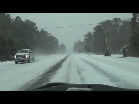
With the wind speeds so varied over our region, snow measurements varied from town to town. We will update them above as readers and the National Weather Service provide us with their locations and depth. Also, many of our readers provided images from their area of the storm and its after-effects. Enjoy the snow day and as always, images are always welcome at news@southernmarylandchronicle.com .
Video courtesy of Ron Bailey


